
![Lot 366: G.W. BACON & CO., LTD. WALL ATLAS MAP OF INDIA PRODUCTIONS. G.W. BACON & CO., LTD., [C. 1920].](https://bidspirit-images.global.ssl.fastly.net/grandauctionhouse/cloned-images/26127/001/001.jpg)
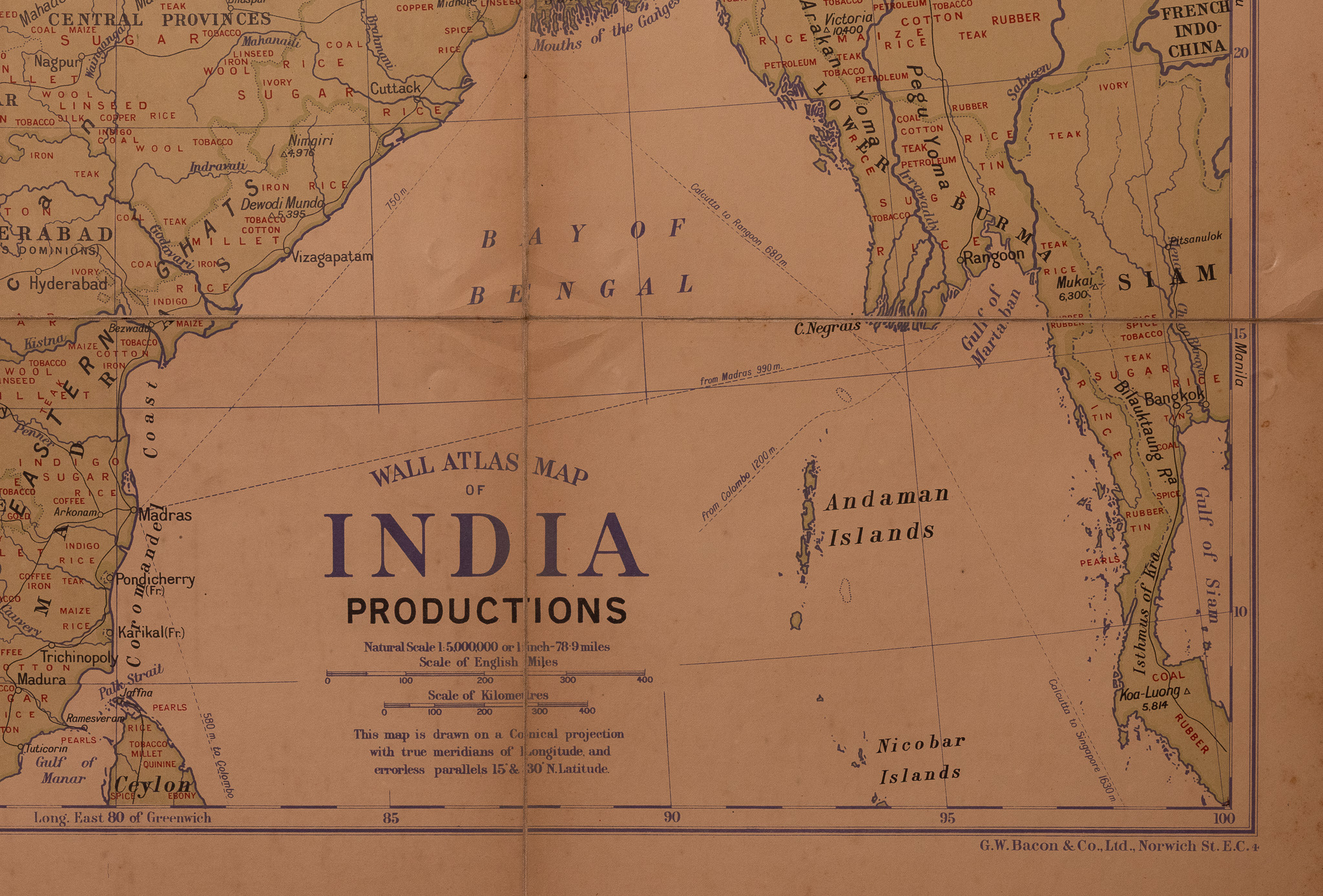
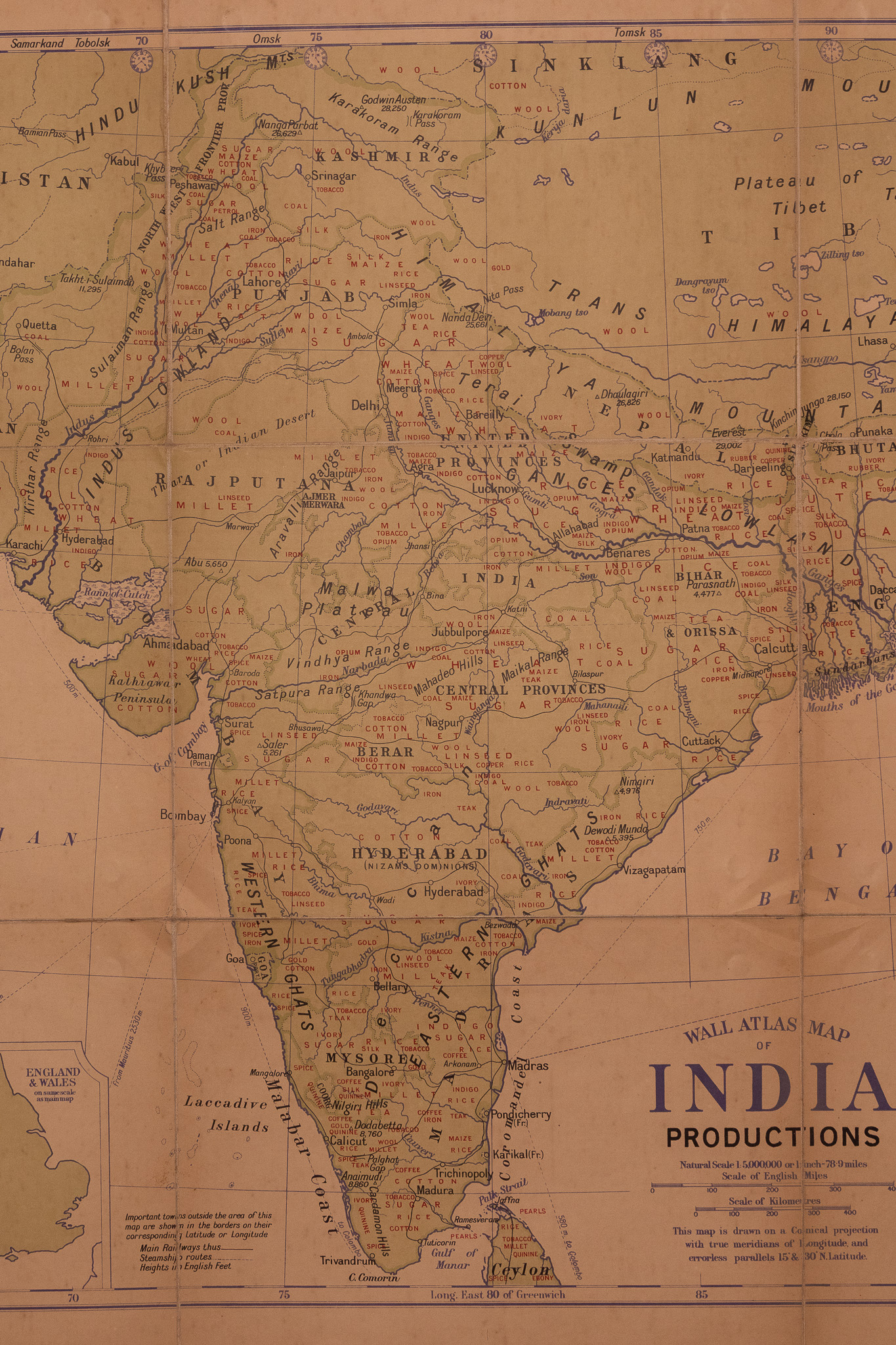
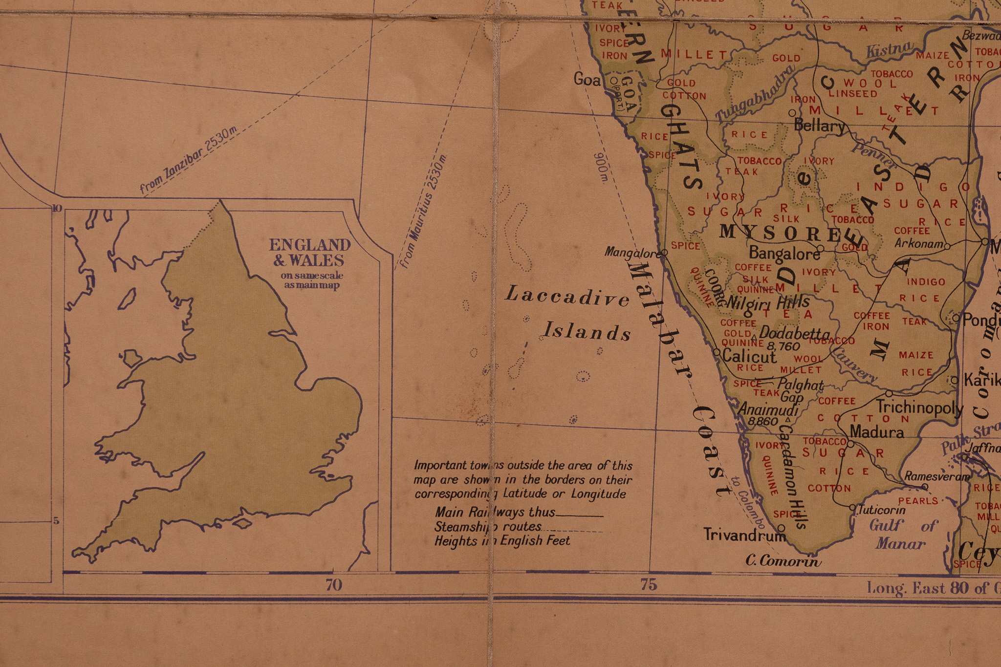
Lot 366: G.W. BACON & CO., LTD. WALL ATLAS MAP OF INDIA PRODUCTIONS. G.W. BACON & CO., LTD., [C. 1920].
0 views
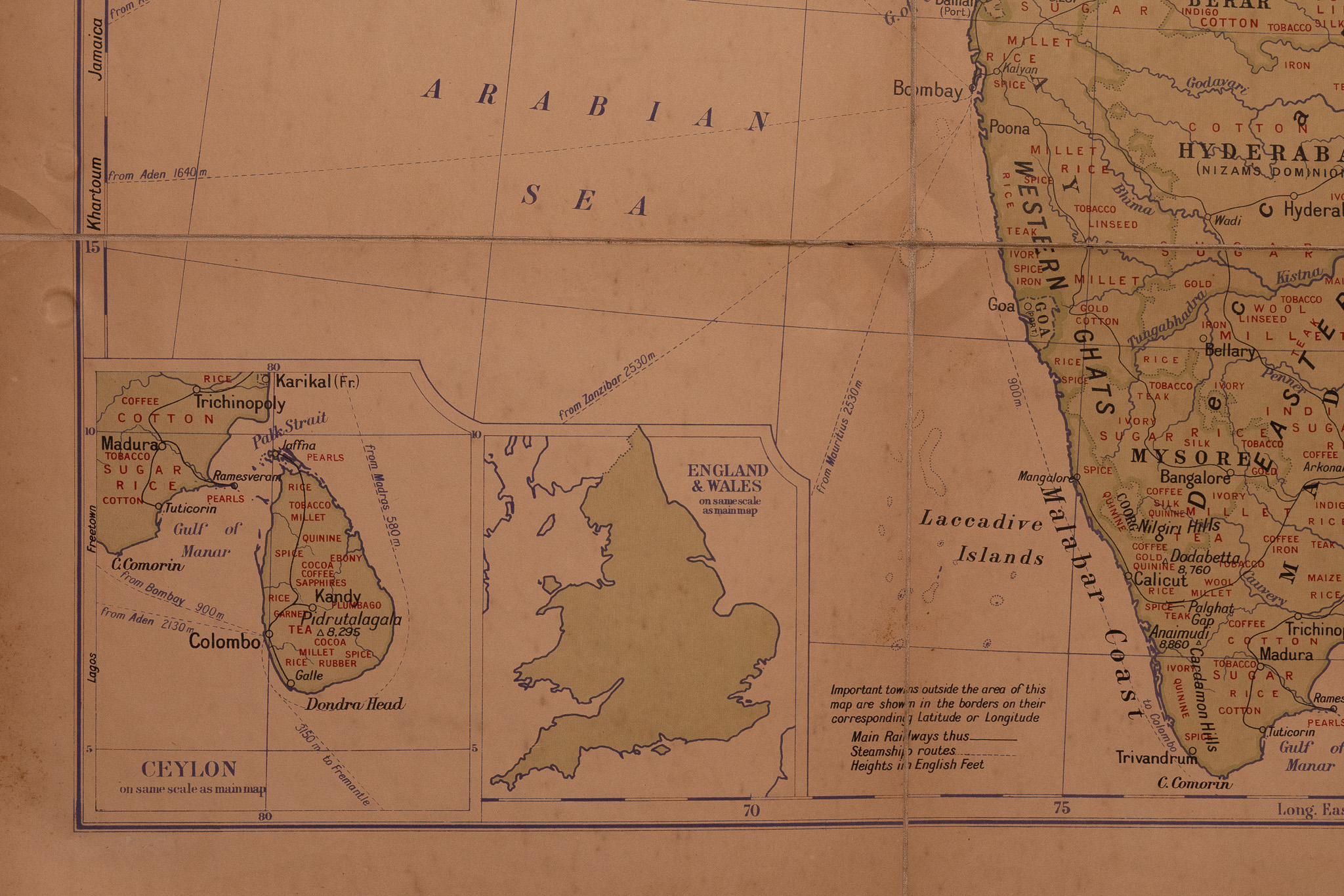
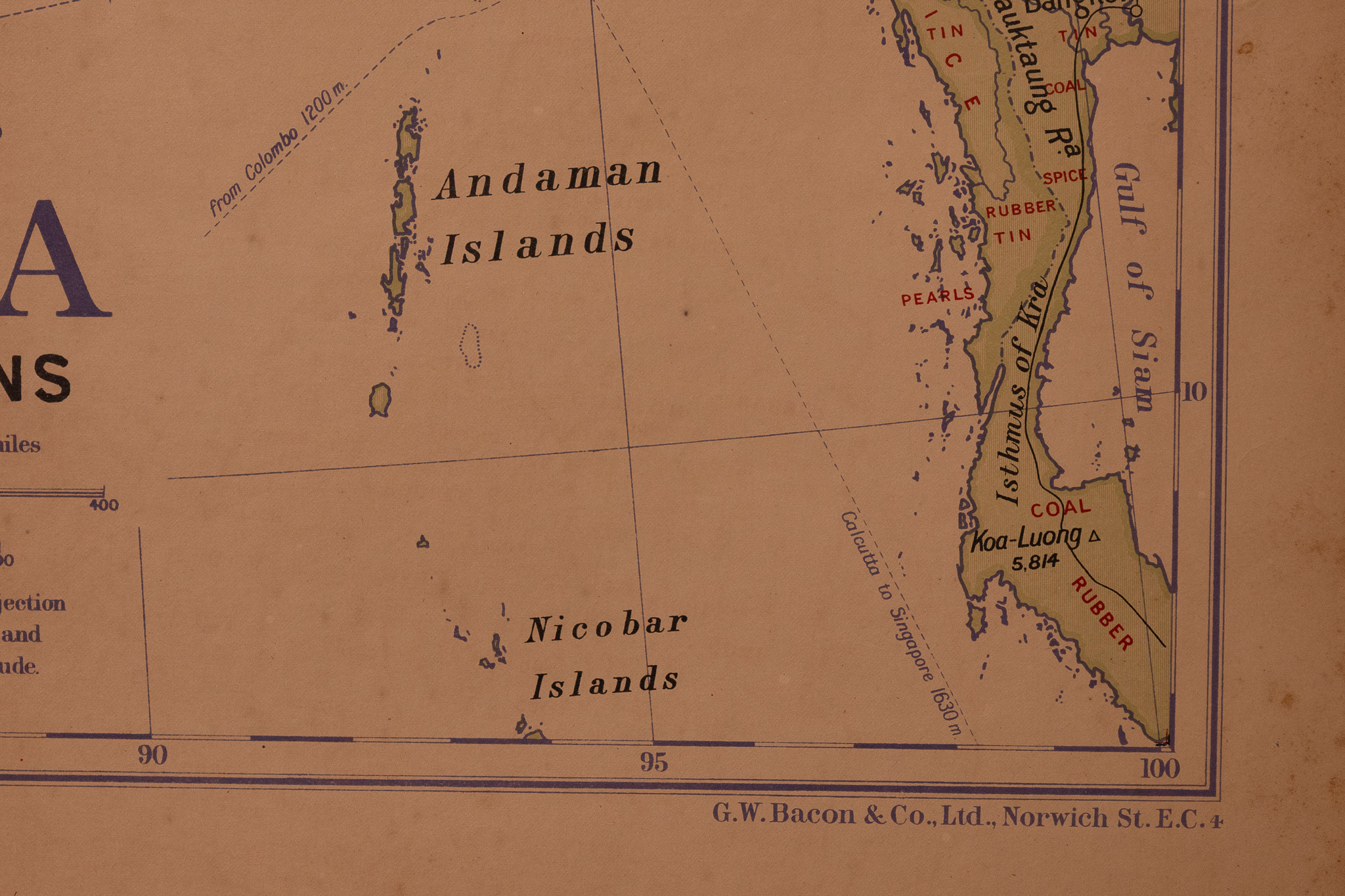
This vintage thematic wall map is titled Wall Atlas Map of India Productions and was published by G.W. Bacon & Co., Ltd., of Norwich Street, London. The map depicts the Indian subcontinent and surrounding regions including Afghanistan, Tibet, Burma, and Siam, specifically detailing regional economic outputs. Textual labels for commodities such as cotton, tea, sugar, rice, coal, and iron are integrated into the geographical layout. The map features two insets: a detailed map of Ceylon and a scale-comparison inset of England and Wales, both noted as being on the same scale as the primary map. It is drawn at a Natural Scale of 1:5,000,000 (1 inch = 78.9 miles) using a conical projection with true meridians of longitude. A legend in the lower left provides keys for main railway lines, steamship routes, and topographical heights in English feet. The publisher’s imprint is located in the bottom right corner. The map is printed on a single sheet of paper and includes two metal-reinforced punch holes at the top edge for hanging.
Approximately 101 x 76cm
Condition report:
The map shows signs of age and handled use. Significant horizontal and vertical fold lines are present across the entire sheet. The paper exhibits overall age-toning, minor creasing, and light foxing. Small tears and surface wear are visible along the edges and at some fold intersections. The metal eyelets at the top remain intact but show slight oxidation.
Share this lot: